


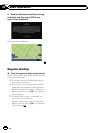

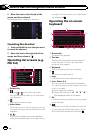
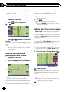
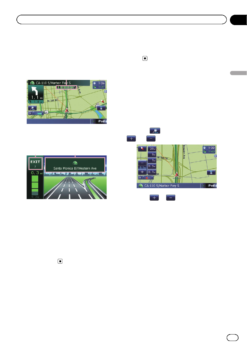
Display during freeway driving
In certain locations of the freeway, lane infor-
mation is available, indicating the recom-
mended lane to be in to easily maneuver the
next guidance.
1
While driving on the freeway, freeway exit
numbers and freeway signs may be displayed
when in the vicinity of interchanges and exits.
2 3
1 Lane information
2 Freeway exit information
Displays the freeway exit.
3 Freeway signs
These show the road number and give direc-
tional information.
p If the data for these items is not contained
in the built-in memory, the information is
not available even if there are the signs on
the actual road.
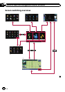
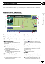
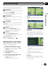
Roads without turn-by-turn
instructions
Routable roads (the route displayed and high-
lighted in purple) have only basic data and
can only be used to plot a navigable route.
Pioneer Navigation will only display a navig-
able route on the map (only the arrival gui-
dance for the destination or a waypoint is
available). Please review and obey all local traf-
fic rules along the highlighted route. (For your
safety.)
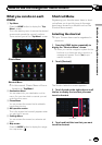
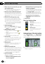
Operating the map screen
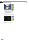
Changing the scale of the map
You can change the map scale between 25
yard and 1000 miles (25 meters and 2000 kilo-
meters).
1 Display the map screen.
2 Touch
on the map screen.
and with the map scale appear.
3 Touch or to change the map
scale.
p If you do not operate the function for a few
seconds, the initial map screen automati-
cally returns.
# Touchthe direct scale key to change the map
to the selected scale directly.
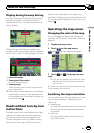
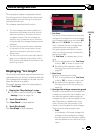
Switching the map orientation
You can switch how the map shows your vehi-
cle’s direction between “Heading up” and
“North up”.
! Heading up:
The map display always shows the vehicle’s
direction as proceeding toward the top of
the screen.
! North up:
The map display always has north at the
top of the screen.
En
27
Chapter
04
How to use the map
How to use the map