


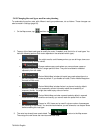
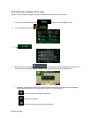

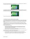
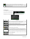

5.1.3 Tunnel view
When entering a tunnel, the map is replaced with a generic tunnel image so that surface roads and
buildings cannot distract you.
The top-down overview of the tunnel helps you orient yourself. The remaining distance in the tunnel is
also displayed.
After leaving the tunnel, the original map view returns.
This feature can be turned off in Settings (page 98).
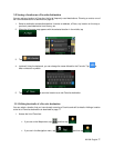
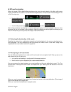
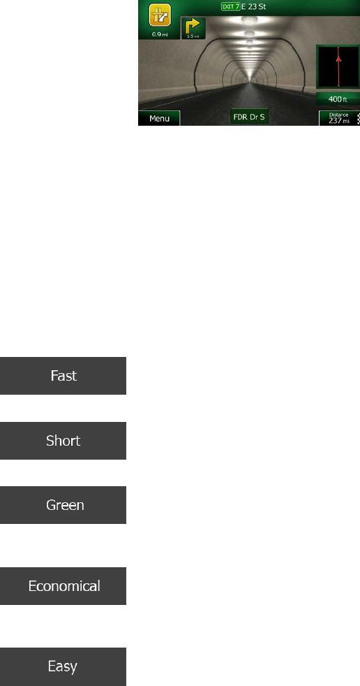
5.1.4 Route calculation and recalculation
Clarion Mobile Map calculates the route based on your preferences:
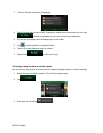
• Route planning methods:
•
: Gives a quick route if you can travel at or near the speed limit on all
roads. Usually the best selection for fast and normal cars.
•
: Gives a route that has the smallest total distance of all possible routes.
It can be practical for slow vehicles.
•
: Gives a quick but fuel efficient route based on the fuel consumption
data given in Route settings (page 93). Travel cost and CO
2
emission calculations are
estimations only. They cannot take elevations, curves and traffic conditions into account.
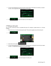
•
: For vehicle types where Green routing is not available, this method
combines the benefits of Fast and Short: Clarion Mobile Map calculates as if it were
calculating the Fast route, but it takes other roads as well to save fuel.
•
: Results in a route with fewer turns and no difficult maneuvers. With
this option, you can make Clarion Mobile Map to take, for example, the freeway instead of a
series of smaller roads or streets.
84 NX404 English