


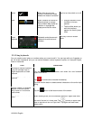
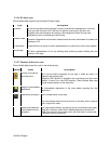
2.3.3.6 3D object types
Clarion Mobile Map supports the following 3D object types:
Type
Description
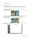
3D terrain
3D terrain map data shows changes in terrain, elevations or depressions in the land
when you view the map in 2D, and use it to plot the route map in 3D when you
navigate. Hills and mountains are shown in the background of the 3D map, and
illustrated by color and shading on the 2D map.
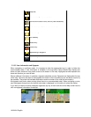
Elevated roads
Complex intersections and vertically isolated roads (such as overpasses or bridges) are
displayed in 3D.
3D landmarks Landmarks are 3D artistic or block representations of prominent or well-known objects.
3D buildings
3D block representation of full city building data containing actual building size and
position on the map.
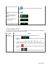
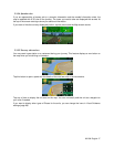
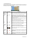
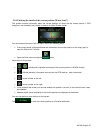
2.3.3.7 Elements of the active route
Clarion Mobile Map shows the route in the following way:
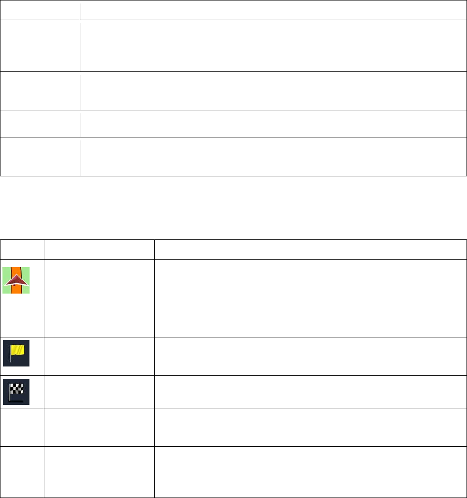
Symbol
Name
Description
Current GPS position
and Start point
Your current position displayed on the map. If roads are near, it is
aligned to the nearest road.
Normally if GPS position is available, the route starts from the current
position. If there is no valid GPS position, Clarion Mobile Map uses
the last known position as the start point.
Waypoint (intermediate
destination)
An intermediate destination of the route before reaching the final
destination.
Destination (end point) The final destination of the route.
Route color
The route always stands out with its color
on the map, both in daytime
and in night color mode.
Streets and roads that
are excluded from the
navigation
You can choose whether you want to use or avoid certain road types
(page 93). However, when Clarion Mobile Map cannot avoid such
roads, the route will include them and it will show them in a color that
is different from the route color.
18 NX404 English