


153
Navigation
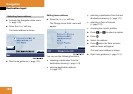
Route guidance
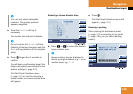
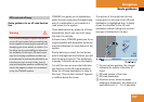
Important map symbols:
ț
Current vehicle location and direction
of travel y
If the map orientation
2D Heading Up
(
୴
page 169) is chosen, the arrow will
always point upward.
ț
The remaining route section is
highlighted in blue color.
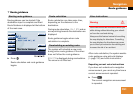
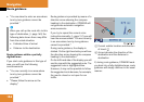
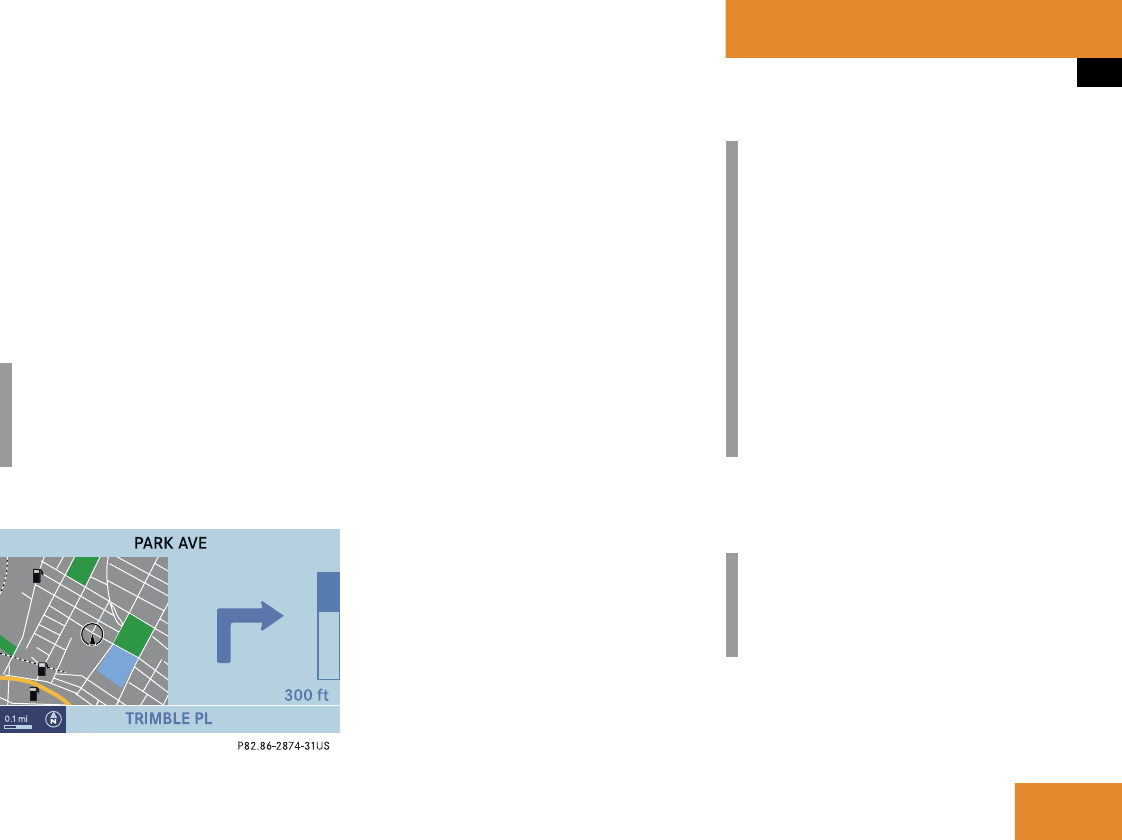
Display example 2:
On the right side of the display, the symbol
for the next driving maneuver is indicated
(here: right turn).
On the very right side next to turn symbol
is the distance bar. It indicates the
distance to the next driving maneuver
(here: 300 ft).
The status bar shows the name of the
street after the driving maneuver, if
available, here:
PARK AVE
The destination is marked with a flag $ on
the map, an intermediate destination is
marked with a flag showing the letter
S.
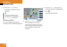
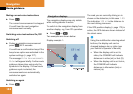
Altering the map scale
The current map scale is indicated on the
left side of the status bar.
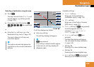
̈
Press any soft key.
The soft key displays appear.
i
The colored highlight only appears
when the system has completed the
route calculation.
i
Using the multifunction steering wheel
buttons, the display unit can be
changed between km or miles (see
your vehicle’s Operator’s Manual).
ț
When the display unit is set to
miles, the COMAND will indicate
distances in miles (mi) or feet (ft).
ț
When the display unit is set to km,
the COMAND will indicate
distances in kilometers (km) or
meters (m).
i
If no other action is taken within
approx. 8 seconds, the soft key
displays will disappear again.