


45
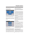
• Recalculate: Cydle will recalculate the
route with the previous settings. The result
is the same as if Automatic recalculation
was selected.
• Drop Next Via Point / Delete Route: Cydle
will remove the next via point from the list
and recalculate the route without it. If you
have only one target left, the label of the
button will be Delete Route, and it will end
navigation.
• Bypass: If you have deviated from the
original route because of a traffi c jam or
roadworks, you can instruct Cydle to avoid
the original route for a specifi ed distance.
• Cancel: You can exit without recalculat-
ing the route. Navigation stops and will be
activated again when you fi nd your way
back to the original route.
Disabled
If you stick to the original route, and you
wish to get back to it on your own, you can
disable recalculation. This way guidance
will stop until you return to the recom-
mended route on your own.
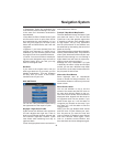
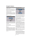
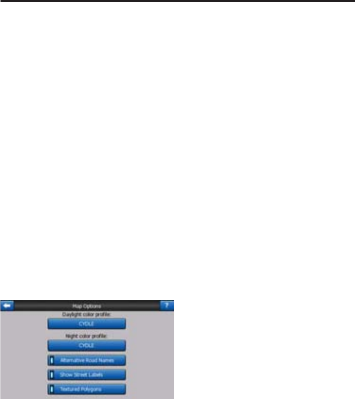
MAP SETTINGS
You can set a few parameters determining
the appearance of the maps in Cydle.
Daylight / Night Color Profi le
Cydle comes with different color schemes
for both daylight and night use. There is
always one selected daytime scheme and
one selected night-time scheme. Cydle
uses these when switching from day to
night and back.
Touch the appropriate button and select a
new scheme from the list.
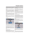
Cockpit / Map Mode Map Details
The less detailed the map, the faster Cydle
can draw and move it. You will fi nd that
Cydle has a very fast graphic engine that
is capable of moving even detailed maps
at high speed. Yet you may experience
that the performance of the software can
be enhanced by decreasing the amount of
detail on the map.
This setting has three values: More detailed,
Normal, Less Detailed (fast). They infl uence
when Cydle hides and shows certain map
features while zooming in or out. Setting a
higher detail level will result in objects ap-
pearing sooner when zooming in.
Although the map visualisation of Cydle
is basically the same in Map and Cockpit
modes, you can set a different map detail
for each one, so the map is better suited for
the purposes of that screen.
Alternative Road Names
Some highways have an international
name or number for foreign travellers. You
can decide whether to show only the local
name or both.
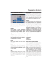
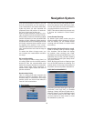
Show Street Labels
You can set whether or not to see the
names of the streets and the POI icons on
the map when driving. Based on the cur-
rent zoom and tilt levels, street names are
displayed either aligned with the street or
on signposts stuck into the streets. If you
switch these signs on, it will be easier to
recognise your location on the map, if you
turn them off, it will be easier to see the
road geometry.
NOTE: You can only disable street names
and POI icons if Cydle follows your posi-
tion. As soon as you move the map and
Lock-to-Position is disabled, street names
and icons become visible again. Touch
Lock to re-enable Lock-to-Position and
have the labels and icons disappear again.
Navigation System