


17
Introduction
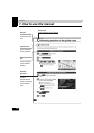
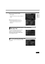
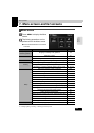
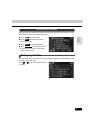
Vehicle position mark
The present location and the vehicle direction are displayed.
Scale display
The reduction scale of the map being displayed is indicated.
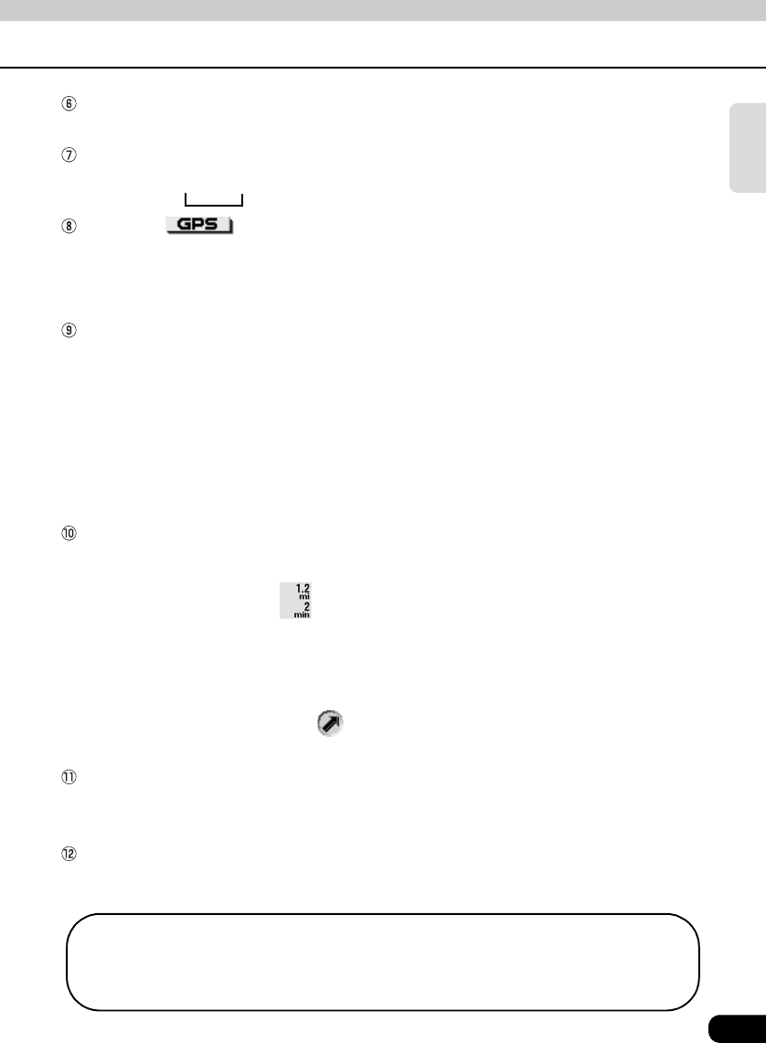
The length of the appearing in the screen above represents 300 ft.
GPS mark
This mark will appear when utilizing absolute positioning data from GPS satellites.
● See page 18 for information concerning this indication. There may be misalignments
depending on the satellite conditions.
Remaining distance display
The distance from the present location to the destination is indicated.
● While route guidance is in progress, the distance calculated from the route now being taken
to the destination is indicated.
● When deviating from the set route, the distance to the destination in a straight line is
indicated.
● Refer to the Section "Switching the required time/remaining distance" on page 129 for
information on how to switch the remaining distance display.
Required time display/destination mark
The following marks appear depending on the situation.
■Required time display
While route guidance is in progress, the required time up to the destination is indicated.
● Refer to the Section "Setting the estimated travel time" on page 124 for information
concerning the required time.
■Destination direction mark
When deviating from the set route, the direction towards the destination is displayed.
Cursor mark
This mark is indicated on the map retrieved by a search or by scrolling.
To scroll, simply touch the map (anywhere except the touch switches).
Cursor position street name display
The name of the street at the current cursor position on the map is displayed for approximately
6 seconds.
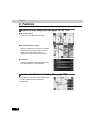
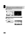
Except for some parts describing certain functions, this manual uses north-up map 1
screen illustrations to describe the device's functions.
"Touch the map" refers to touching the map screen directly (anywhere except the touch
switches).