


Garmin GPSMAP 695/696 Owner’s Manual
190-00919-00 Rev. F
21
Overview
Overview GPS Navigation Flight Planning Hazard Avoidance Additional Features Appendices Index
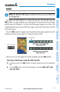
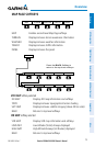
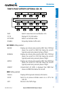
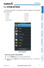
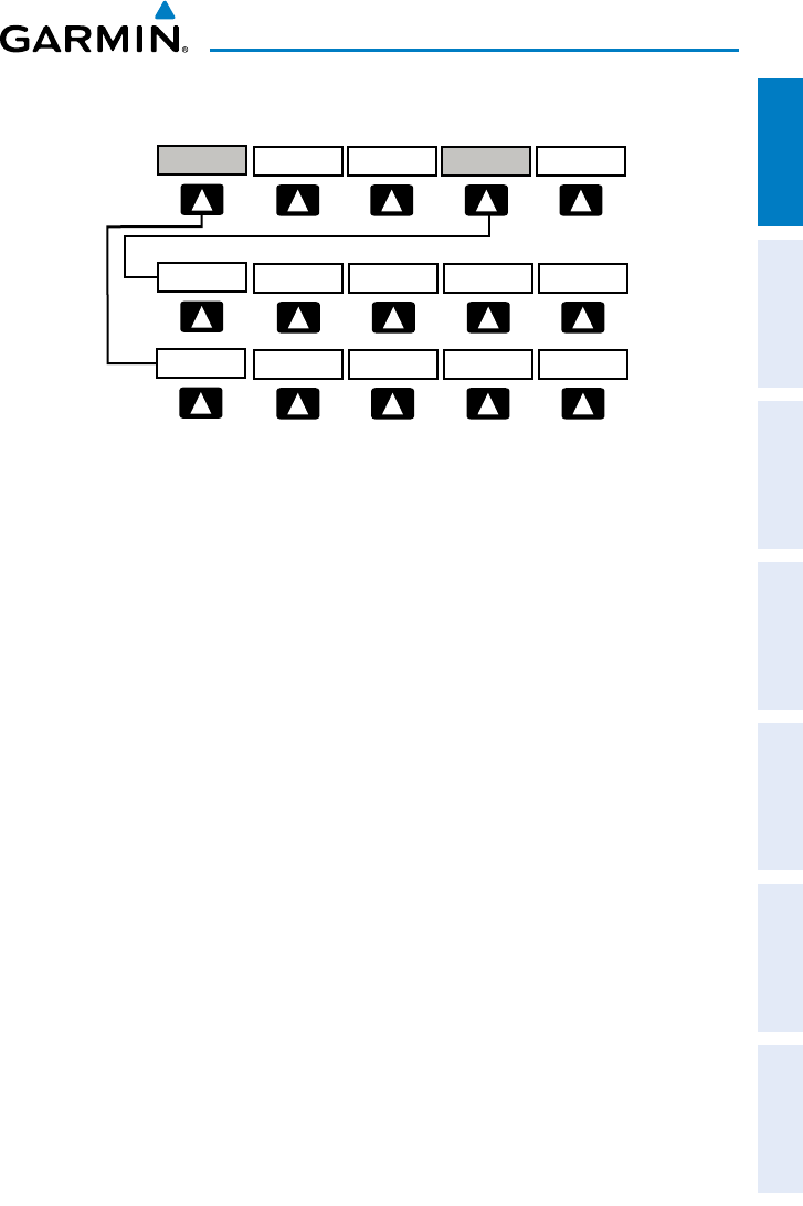
TRAFFIC PAGE SOFTKEYS (OPTIONAL GDL 39)
VOL +
BACK VOL -
MUTE
VOLUME
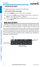
Press the BACK Softkey to
return to the top-level softkeys.
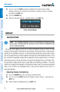
INFO
CHANNEL
VOLUME CATEGORY
PRESETS
DISABLEFLT ID
BACKUNRESTABOVEBELOW NORMAL
ALT MODE
STATIONS
EXIT
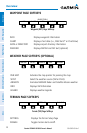
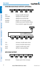
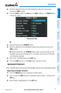
INFO
SETUP
INFO
PAN MAP
ANIMATE
LEGEND
INFO
CHART
APPRCH
AOPA WEATHER
MAP
VFR MAP
BACK
IFR MAP TOPO
BACK
Press the BACK Softkey to
return to the top-level softkeys.
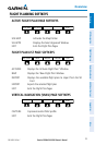
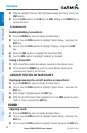
SAT VIEW
HIGH AWYLOW AWYIFR MAPVFR MAP
MAP
TERRAIN
WEATHER
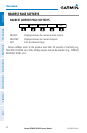
INFO Select to view Data Link and Weather info
FLT ID Displays FLT ID information.
ALT MODE Select to set altitude mode.
DISABLE Temporally disables traffic alerts
ALT MODE Softkey selected
BELOW Displays non-threat and proximity traffic from 2700 feet
above the aircraft to 9000 feet below the aircraft.
Typically used during descent phase of flight.
NORMAL Displays non-threat and proximity traffic from 2700 feet
above the aircraft to 2700 feet below the aircraft.
Typically used during enroute phase of flight.
ABOVE Displays non-threat and proximity traffic from 9000 feet
above the aircraft to 2700 feet above the aircraft.
Typically used during enroute phase of flight.
UNREST (Unrestricted): All traffic is displayed from 9900 feet
above and 9900 feet below the aircraft.
INFO Softkey selected
Stations Displays ADS-B ground station(s) information.
SETUP Select to set pressure altitude sensor on or off in the
GDL 39.
EXIT Returns to the Traffic Page.