


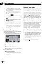
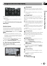
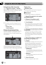
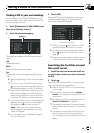
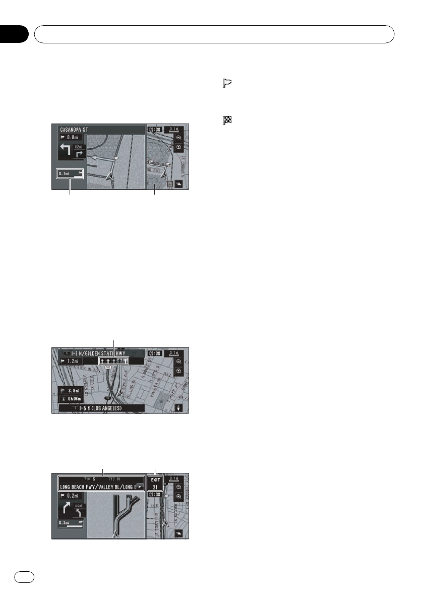
Enlarged map of the intersection
When [Close-up of Junction]inSettings
menu is [On], an enlarged map of the junction
appears. When driving on a freeway, a special
guide illustration is displayed.
ed
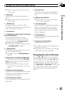
p The system cannot be changed to an en-
larged intersection map in the following
mode:
— Driver’s View
— Vehicle Dynamics
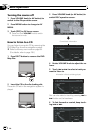
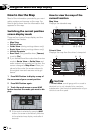
Display during freeway driving
In certain locations of the freeway, lane infor-
mation is available, indicating the recom-
mended lane to be in to easily maneuver the
next guidance.
i
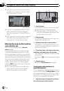
While driving on the freeway, freeway exit
numbers and freeway signs may be displayed
when in the vicinity of interchanges and exits.
jk
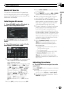
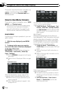
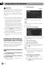
Display items
Guidance point*
The next guidance point (next turning point,
etc.) is shown by a yellow flag.
Destination*
A checker-flag indicates your destination.
1 Name of the next street to be used (or
next guidance point)*
2 Distance to the guidance point*
Touch to access the next information.
3 Current location
The current location of your vehicle. The tip
of the triangular mark indicates your head-
ing and the display moves automatically as
you drive.
4 Distance to the destination (or distance
to way point)*
If way points are set, the display changes
with each touch. When two or more way
points are set, the distance to the destina-
tion and the distance to the next way point
are switched.
5 Name of the street your vehicle is tra-
veling along (or City Name, etc.)
6 Compass
The red arrow indicates north. If the scale is
less than 25miles (50km), touching the
map changes the direction that it is dis-
played in (north up/ heading up). When the
scale of the map is greater than 25miles
(50km), it is fixed to “North up”.
! Heading up:
The map display always shows the vehi-
cle’s direction as proceeding toward the
top of the screen.
! North up:
The map display always has north at the
top of the screen.
7 Zoom in/Zoom out
Touch to change the map’s scale.
Navigation Menu and Map Display
En
46
Chapter
03